
Acres: Land Data & Parcel Maps
Acres.com
Downloads
100,000+
Source
Google Play
Advertisement
Click to download now, finish the installation quickly, and directly unlock the all-round experience
Advertisement
Screenshots
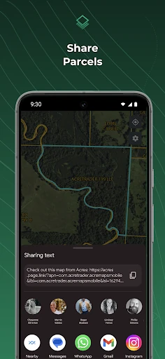
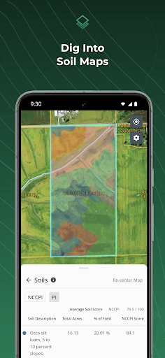
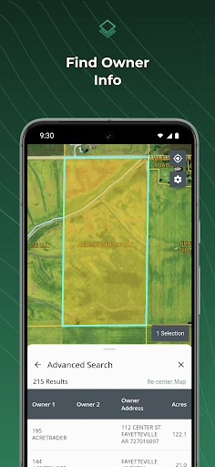
Click to download now, finish the installation quickly, and directly unlock the all-round experience
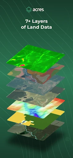
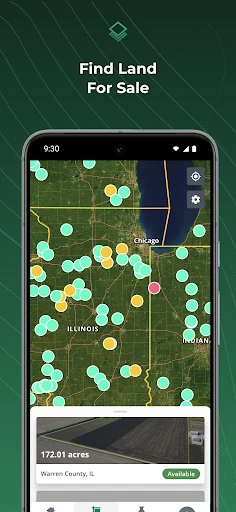
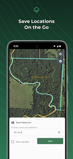
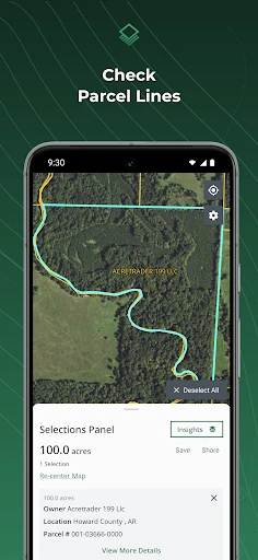
Acres: Land Data & Parcel Maps is a business app for researching land across the United States. It lets landowners, farm managers and real estate professionals look up parcels, view property lines and examine land data while away from a desktop. You can also search land listings, save parcels for later and share maps or location details.
This is a more relevant choice if you need parcel boundaries combined with agricultural and property context. A farm operator may use crop history, soil and yield information; a land buyer may care more about listings, taxes and owner details; and someone visiting a property may value offline maps and location sharing. If you only need a basic map or general property search, many of these research fields may be more than you need.
Acres.com publishes the app in the Business category. It has a 4.09 rating from 2,485 reviews and 100,000+ installs. Those figures show established use, but they do not tell you whether the available data covers the particular county or parcel you need. Check that fit first, especially if owner details, tax records or agricultural estimates are central to your work.